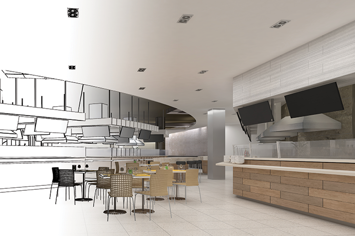
3D Mapping Brings a New Dimension to Kitchen Design
From design to regulatory compliance, virtual facility models can remove friction and streamline restaurant and commercial kitchen projects.

Todd Slind
From trendy restaurants to large university commissaries, foodservice kitchen and facility projects demand precision, efficiency and compliance. Technologies that can help dealers fulfill those requirements are highly sought after. Enter 3D facility mapping, the process of creating a highly accurate, virtual model of a space and its equipment. Beyond supporting design, renovations and retrofits, 3D mapping allows project teams to collaborate remotely, streamline changes, maintain a verifiable record, and document code-compliant features and dimensions.
In the following Q&A, Todd Slind, vice president of artificial intelligence (AI) capabilities at TRC Companies, explains how 3D mapping works, the tools available and why this technology can be a valuable resource for foodservice kitchen and facility projects.
What is 3D mapping and how can it benefit today’s foodservice facility projects?
Todd Slind: 3D mapping captures a geometrically accurate virtual map of enclosed spaces and objects. It can provide an “as-built” representation that can be used as a starting point for design renovations and retrofits. It can also be used to enable virtual visits to a space, which provides project participants with the context and constraints for the environment without requiring a physical visit. In addition, using AI and other data processing techniques, objects included in the map can be automatically classified to provide an inventory of the equipment in a facility.
How can project managers and designers use the information created by a 3D map?
Project managers and designers can use information created by a 3D map across the project lifecycle. Early in the project, the 3D map can help scope the project by providing a comprehensive baseline understanding for the project environment. During the project, it can be used to plan and sequence demolition, construction and equipment installation. As the project reaches conclusion and commissioning, the 3D map can then be used to represent the facility as it was actually built, enabling it to both confirm the finished project meets specifications and be used as an ongoing reference for maintenance and operations.
What tools or technologies do foodservice equipment and supplies dealers need to create an effective 3D map?
3D maps are most commonly created using lidar (light detection and ranging) and optical scanning technologies. The scanning hardware can range from a high-definition, industrial-grade lidar scanner to the sensors provided in high-end mobile phones. Both ends of the spectrum provide the tools to create a 3D map, but the difference is in the detail and accuracy. If timeliness and cost are drivers, then phone scanning is more appropriate. Optical scanning tools that use high-definition sensors and location-aware hardware provide much of the accuracy of high-grade lidar while benefiting from the lower cost and quicker data capture offered by consumer-grade mobile phone cameras and lidar sensors.
Are there different levels of 3D mapping?
The American Institute of Architects has defined levels of development (LOD) for 3D modeling. Each model provides benefits for distinct stages of project development. The levels include:
- LOD 100: Concept design
- LOD 200: Approximate geometry
- LOD 300: Precise geometry
- LOD 350: Greater detail and construction documentation
- LOD 400: Fabrication and assembly
- LOD 500: As-built model
What are some aspects of a foodservice facility that can particularly benefit from 3D mapping?
Low-cost 3D mapping can be done several times over the course of a project. Scans can be conducted at critical points during construction such as inspections to assess completeness and code compliance. Facilities that have scans completed during construction can use those scans to know where plumbing, ventilation and electrical systems are within walls, which can then be used to pinpoint possible points of failure and facilitate troubleshooting.
How can 3D mapping help me streamline and speed up project changes?
When project managers and designers have access to the 3D map of a facility, they can better help clients understand the full magnitude of how proposed changes may impact the project. For example, the mapping can show how much rework is required when a kitchen layout shifts to accommodate a new workflow, or whether the installation of a cutting-edge griddle will require other equipment to be removed or replaced — decisions that equate to time and money.
Can it help make walkthrough inspections more efficient?
Another advantage of 3D scanning is that it can accompany walkthrough inspections to serve as a record for the conditions at the time of inspection. It has become standard practice in several industries for 3D mapping to support the evaluation of construction inspections and confirm progress for payment milestones. TRC has used drones equipped with lidar to collect intermediate as-built models and compare those to the final construction plans to determine percent complete.
Can the data be used to ensure my project is compliant with local building and environmental regulations?
Yes. The images produced by a 3D scan can be processed to detect construction features that are required to meet codes (e.g., fire suppression systems) or dimensions that define regulatory requirements (e.g., distances between elements or clearances for ingress and egress, etc.). Because they reflect real-world conditions, they can also be used to generate comprehensive reports and digital records. These can be shared with local inspectors or regulating agencies, helping speed up necessary approvals.
Do you have any real-world examples of how 3D mapping improves regulatory compliance?
A recent client was given a mandate to provide evidence that correct safety equipment exists within their facilities. A 3D scan was done of relevant facilities, and those scans were processed using machine learning to detect, extract and classify the equipment in question. This effort not only provided an efficient and effective means to prove compliance but also generated a robust record for an independent audit of the inventory and compliance claims.
What else should foodservice equipment dealers understand about how 3D mapping can support their projects?
3D scanning technology is now available on high-end mobile phones. Basic apps using these sensors can provide a view into the potential impact these tools can have for assessing, measuring, communicating, and maintaining facilities in a visual, data-driven manner.
About TRC Companies
Todd Slind is the vice president of artificial intelligence capabilities at TRC Companies, a FEDA business services member that provides consulting, engineering, and construction management services for the energy, environment, and infrastructure sectors. His background spans a wide array of sectors and involved developing data and applications in civil infrastructure, technology, agriculture, and financial services, among other fields. Learn more at trccompanies.com. Todd can be reached at TSlind@trccompanies.com.